
The UN General Assembly has voted overwhelmingly to encourage governments, schools and tech companies worldwide to stop using maps that make Africa look far smaller than it really is.
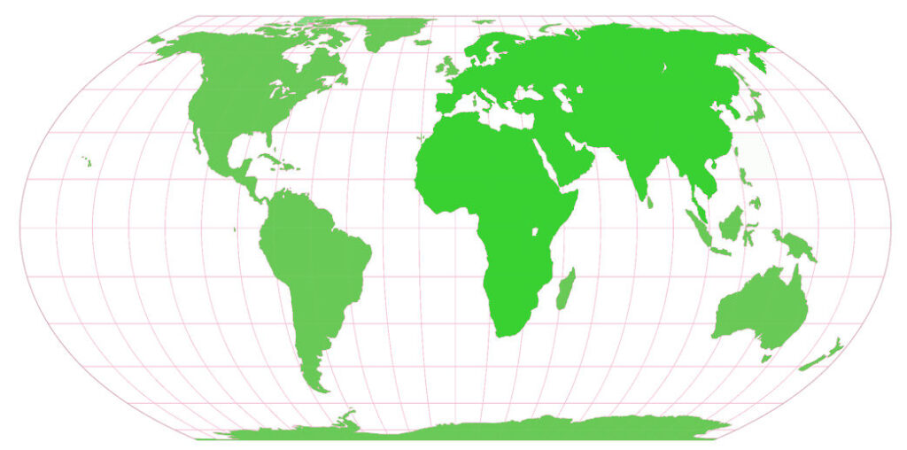
After more than 400 years of cartographic diminution, Africa appears its correct size in relation to other regions and continents that were exaggerated in Mercator’s 16th century projection. The enduring problem, however, is that no 2D projection can reduce a 3D globe to a surface with complete equality. A flat map, is a 2D spatialisation of a 3D reality.
The United States cast the sole vote against, dismissing the initiative as part of a “radical ideological project.” Six countries – Estonia, Georgia, Lithuania, Moldova, Serbia and Ukraine – abstained worrying that a door was being opened to competing maps that could distort areas as part of propaganda efforts.
-Rob Shields (Univ. of Alberta)